Since RadarNow! shows imagery DIRECTLY from the radar station, we can bring you the most up to date radar image possible. Most apps show a composite overlay that may be up to 15 minutes or more old. The time on the overlay indicates when it was created, not when the radar data was collected.
Local view – This is what is seen when RadarNow! starts.
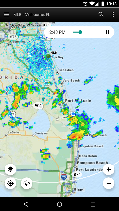
Current Conditions:
Current conditions browser – Move the map around to see the current conditions at other locations.
Two Day Hourly Forecast:
Two day hourly forecast.
Optional State and County Boundaries:
Optional state and county boundaries. To activate, open the left menu (three horizontal bars, top-left) and open the layers menu. It can help to lower the opacity of the main map layer to make the counties more visible.
Alerts with Warning Polygons:
An alert sometimes has a warning polygon. These show as a hashed red and black line around the area. These polygons are removed when the alert is dismissed. See the help text for details on how to dismiss an alert.
Premium Screen:
Premium features shown. Note the range rings and optional “alternate local products” icon (lower left). Ads are removed with premium as well. Please see our post on premium features for a complete list.
Premium – Alternate Local View Products:
Premium view alternate local products. The alternate products can help enhance situational awareness.